
The local context
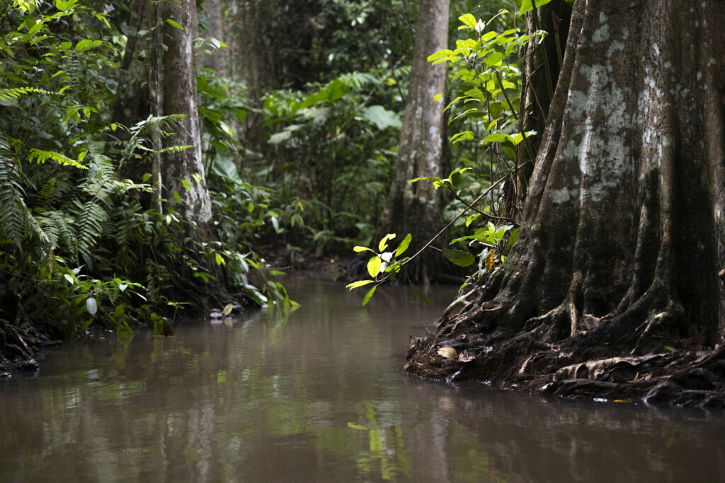
Hlanzoun is a swamp forest on peaty soil that is unique in West Africa due to certain tree species found there. It covers an area of 2,945 hectares, including a central core of almost 900 hectares in a relatively good state of conservation. This flooded forest is permanently fed by the river Hlan. 
However, Hlanzoun is a fragile ecosystem threatened by a range of human pressures, including logging, illegal clearing, poaching and the establishment of oil palm plantations.
Project objectives
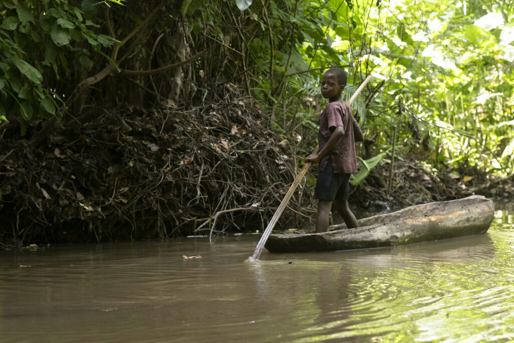
Although Hlanzoun has, on paper and for more than 20 years, had the status of a protected community forest, the boundaries of this entity have never been defined. As a result, some of the inhabitants of the 17 villages bordering the forest, as well as people from outside the communities, continue to clear the forest and carry out activities that have an impact on the ecosystems.
The project involves setting up a series of participatory actions with the villages, institutions and various stakeholders to jointly define the future protected area. Formalising the boundaries of the area is an essential step towards the sustainable conservation of Hlanzoun.
The first stages
Defining the boundaries of a new protected area is no mean feat, and involves a number of stages.
An action plan has been drawn up with our local partner ECODEC, and the first meetings to explain and explain the proposed strategy are due to begin shortly.
All the players involved in Hlanzoun should take part, i.e. community representatives from each of the villages, town hall departments, the Benin Water and Forestry Service (environmental authority), the UNESCO MAB committee, researchers from the Applied Ecology Laboratory at the University of Abomey-Calavi, etc.
The ambition
Eco-mapping workshops are planned in each village. During these activities, participants will draw on a map the natural resources, areas of interest of all types and areas of conflict identified in the village. The aim is to work with each village to define ’where the forest begins«.
Subsequently, the work of a cartographer and a topographer will make it possible to visualise and mark out the area to be protected.
Finally, the planting of Ceiba pentadra (a very large tree in the baobab family with a sacred character) and the installation of wooden signposts, will enable the Hlanzoun community forest to be physically demarcated, in line with the decisions taken collectively with the villages and the various stakeholders in the area.
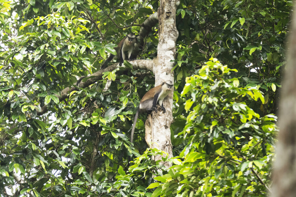
Mones or Monas (Cercopithecus mona)
The expected impact
This important work should enable the village management committees and the Hlanzoun management committee (CoSaHlan) to intervene if illegal activities are observed in the Hlanzoun forest.
Poaching and other illegal activities in the heart of the forest are often justified by offenders on the grounds of lack of knowledge and the absence of a clear demarcation of the community forest.